


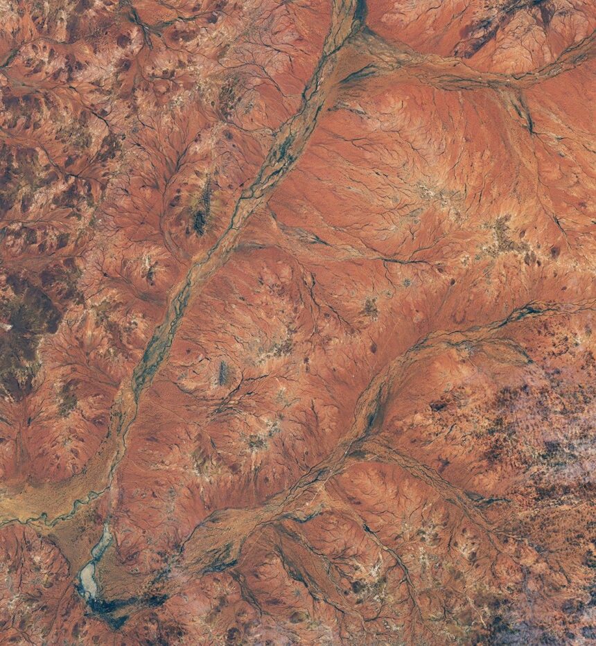
Above-average winter rainfall in June and August 2026 triggered a massive Western Australia wildflower bloom across arid shrublands in the Murchison region, about 600 kilometers north of Perth. Captured by satellite imagery comparing the landscape to drier conditions in 2025, the rare natural spectacle awakened dormant desert seeds and created a vivid contrast across the region's rusty ochre terrain.
How did satellite data capture the Western Australia wildflower bloom?
Satellite comparisons using the Operational Land Imager on the Landsat 8 spacecraft documented the dramatic greening and flowering of the Western Australian outback. The imagery contrasted the lush landscape of late August 2026 with much drier conditions observed in 2025, confirming significant vegetation growth driven by heavy seasonal rains from passing cold fronts.
Where did the rare desert blooms appear?
The wildflowers erupted across the arid Murchison region north of Perth, famously transforming pastoral lands and enveloping areas around the Commonwealth Scientific and Industrial Research Organisation radio astronomy site, which helps support deep space missions and space exploration tracking.