


Researchers have created a comprehensive digital map of the Roman Empire road network, which spanned 190,000 miles by 150 C.E. The study challenges the long-held belief that all major routes led to Rome, revealing that ancient engineers prioritized landscape adaptation over perfectly straight paths. This new analysis provides fresh insights into how the empire managed administration, trade, and regional connectivity across its vast territories.
Did all roads lead to Rome?
The Roman Empire road network was not as centered on the capital as previously assumed. While Rome held significance, researchers discovered that the most central road in Italy followed the Adriatic coastline, bypassing the city entirely. Additionally, the eastern capital of Byzantium was found to be more connected to the wider imperial realm than Rome, highlighting a more decentralized infrastructure than historical adages suggest.
How did Roman engineers build their roads?
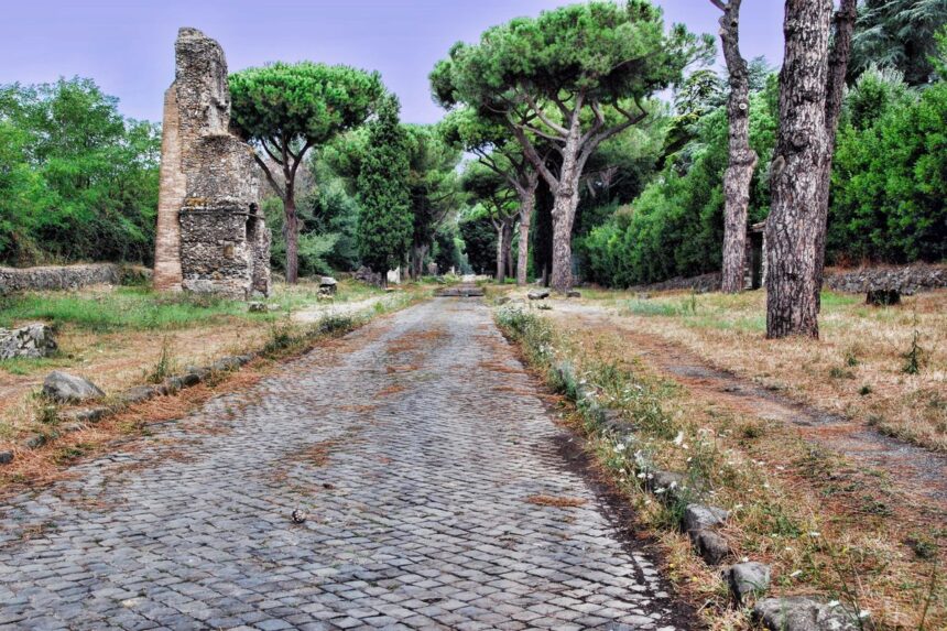
Roman engineers adapted their construction to the terrain rather than forcing straight lines. By utilizing techniques like terracing, rock cutting, and bridges, they navigated mountains and rivers effectively. This durable design influenced European travel for centuries, with some modern highways, such as Spain’s N-340, still tracing the original paths established by ancient builders to facilitate long-distance movement across the continent.