


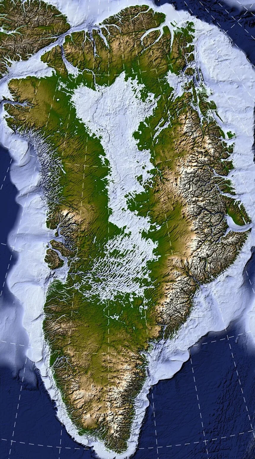
Researchers using a specialized satellite mapping technique have uncovered nearly two thousand hidden valleys beneath the Greenland Ice Sheet, providing new insight into the island's ancient geology and future ice movement. Published in Geophysical Research Letters, the study details how scientists mapped 1,943 subglacial valleys, with about one-third newly identified and others extending hundreds of kilometers farther inland than previous models indicated.
How do scientists map hidden bedrock beneath ice?
Researchers use Ice Flow Perturbation Analysis to detect subtle surface signatures left by buried terrain. As ice flows over valleys and ridges, it creates faint bumps and dips on the surface that satellites capture in fine detail, allowing scientists to infer the shape of the landscape hidden below the massive Greenland Ice Sheet.
Why does mapping Greenland subglacial valleys matter?
Understanding the underlying topography helps scientists refine projections of the ice sheet's future retreat. Because ice flow concentrates in these valleys and accelerates melting, researchers gain a better long-term sense of how faster ice flow will propagate into the interior of Greenland as the climate changes.